
INTRODUCING VISION’S DATA PROCESSING SERVICES IN PARTNERSHIP WITH GEOTOMO (EARTH MODELLING & IMAGING SOLUTIONS)
Visions’s imaging center is located in Muscat, Sultanate of Oman (Head Office).
Vision’s dedicated Data Imaging Center builds upon years of combined imaging experience.
Together with our partner, we offer high-end geophysical software products that provides advanced data processing services that help geophysicists around the world to image the near-surface and subsurface in areas with rough topography and complex near-surface, and complex subsurface.
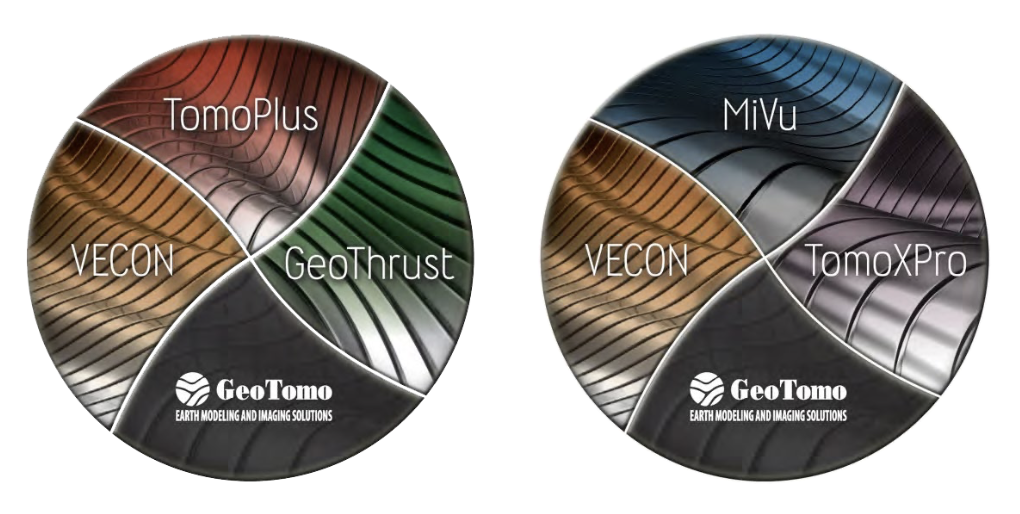
To address these complexities, our products include TomoPlus; near-surface imaging & statics solutions,
GeoThrust; seismic data processing system, VECON; VSP and surface seismic modeling and survey design, MiVuTM; microseismic processing system.
Our software effectively manages the latest field recording acquisition techniques within the data processing workflow, to apply specific de-blending techniques.
Our software effectively manages the latest field recording acquisition techniques within the data processing workflow, to apply specific de-blending techniques.
Surface Seismic Applications
TomoPlus - Near Surface Solutions
GeoThrust & ETHOS - Seismic Processing System
VECON - Survey Modeling and Design
Borehole Seismic Applications
MiVu - Micro Seismic Solutions
TomoXPro - Crosswell Processing System
VECON - Survey Modeling and Design
GeoVS - VSP Processing System
TIPS - Integration Petrophysics and Seismic
Surface Seismic / Borehole Seismic
Specialised processing for areas with near-surface and structural complexities
- Anisotropic Time and Depth Imaging
- High Resolution Near-surface Velocity Models
- Time-Lapse FWI Processing
- Microseismic Processing
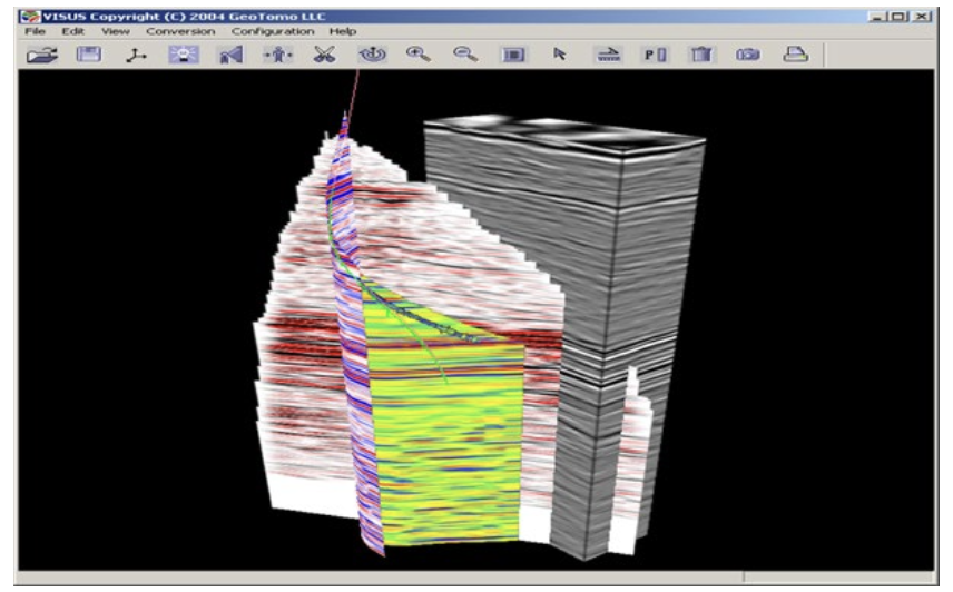
- VSP Processing & Survey Design
- Crosswell Tomography and Imaging
- Petrophysics to Seismic Integration
- Seisnetics AI Driven Reservoir Characterisation
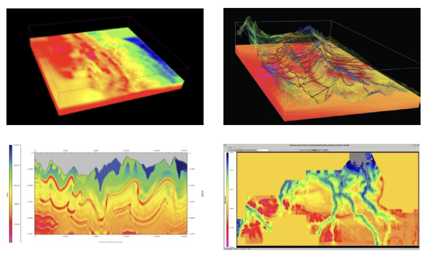
Near-Surface Imaging and Statics Solutions
- Advanced Inversion Based Picking Technologies
- Interactive Processing & QC Workflows
- Conventional and Advanced Imaging Solutions
Delay-Time Solutions
Generalized Linear Inversion (GLI3D)
First-Arrival Traveltime Tomography
Early-Arrival Full Waveform Tomography (FWI)
Joint Gravity & Seismic Tomography
Joint Traveltime & Waveform Inversion
Joint EM & Seismic Inversion
Joint FWI & Gravity Inversion
- High Resolution Near-Surface Velocity Models
- Comprehensive Statics Calculations
- SeisSpace Plug-in Available
2D & 3D Seismic Data Processing System
Technically advanced and user friendly
- Tomography & image-based near-surface statics
- NMO and Migration from topography
- Advanced signal processing and noise attenuation
- Anisotropic Time and Depth Imaging
- Crooked-line processing
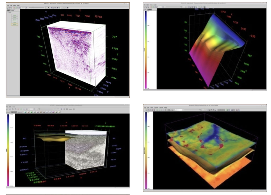

Seismic Time and Depth Imaging System
- Marine Data Processing
Towed Streamer
Transition Zone
Ocean Bottom Node
- Land Data Processing
- Designed for Large Data
- GPU Enabled for Improved Performance
- Simultaneous Source Deblending
- Advance Noise Attenuation
- Robust Velocity Building and Updating Tools
- Broad Band Processing Workflows
- Data Regularization and Interpolation Techniques
- Offset Vector Tiles (OVT) Processing
- Anisotropic Pre-Stack Time Migration
- Anisotropic Pre-Stack Depth Migration
2D & 3D Survey Design and Modelling
- Designed for VSP and surface seismic geometries
- Easy creation of 2D and 3D velocity models
- 2D / 3D elastic finite difference wavefield simulation
- Raytracing for direct, reflections, and conversions
- Isotropic and Anisotropic Raytracing
- Windows and Linux version
- Improved performance with parallel computing
- 64 bit architecture for large file handling
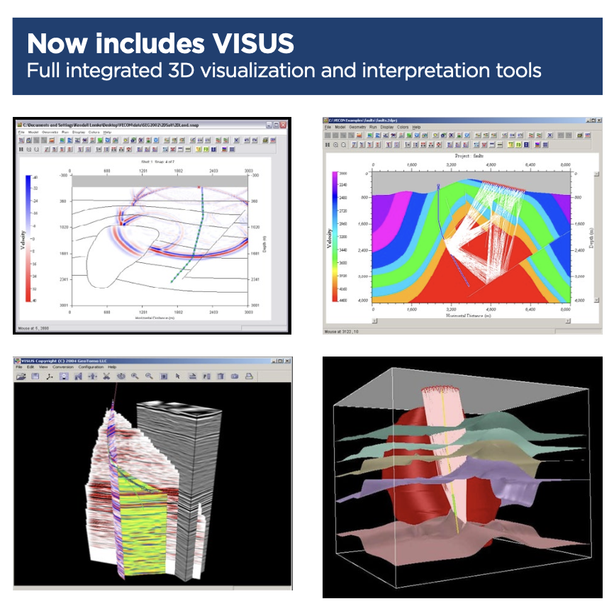
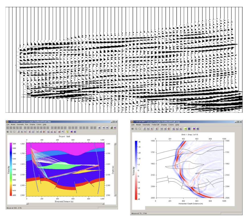
Crosshole Seismic Solution
- Crosshole survey design for complex geology
- Synthetic and wavefield simulation
- Raytracing for direct, reflections, and conversions
- Nonlinear tomographic imaging
- Wavefield data processing
- Pre-stack migration
- 4D time lapse processing
Microseismic Processing System
- Downhole and Surface Arrays
- Pre-survey Modeling & Design
- Data Processing & Enhancement
- Event Imaging and Location
Interferometric Migration
Traveltime Inversion Grid Search
Cross Double Difference
Stacking Scan
- Interactive Quality Control
- Source & Focal Mechanism
- 2D & 3D Visualisation
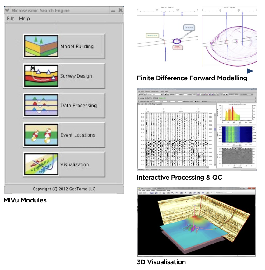
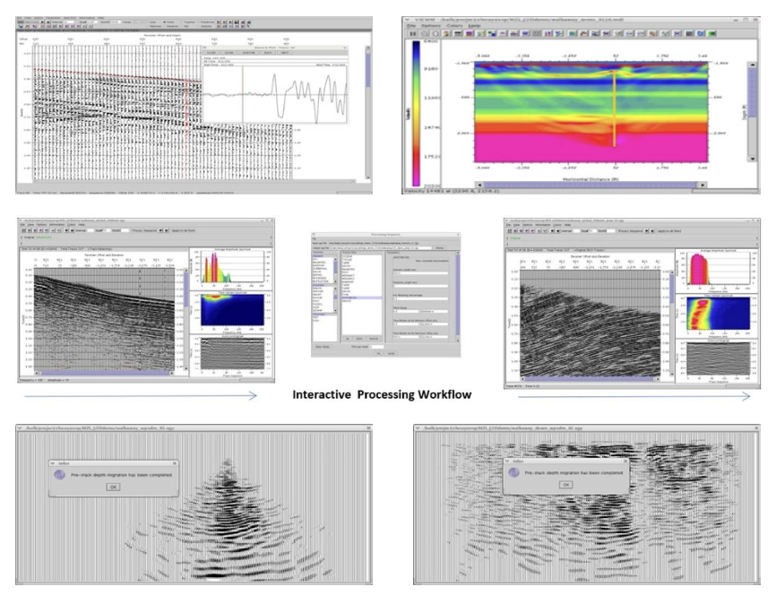
2D / 3D VSP Data Processing and Imaging Solution
- First Break Picker
Automatic Pickers
Semi-Automatic Pickers
Manual Pickers
- Velocity Model Building & Updating
Well log Initial Model
Tomography Update
VDCube (Velocity Layer Scan)
- Interactive Signal Processing
- Prestack Depth Migration Techniques
Kirchhoff
Wave Equation
- Interferometry Imaging
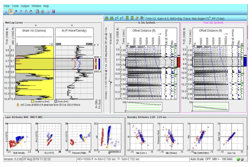
Toolkit for Integrating Petrophysics with Seismic
- Log editing
- Curve generation
- Well ties
- AVO fluid-sub gathers
- Crossplots
- Seismic attributes
- Band limited rock property curves
- Wedge models
- Thin bed modeling
- Fizz gas discrimination
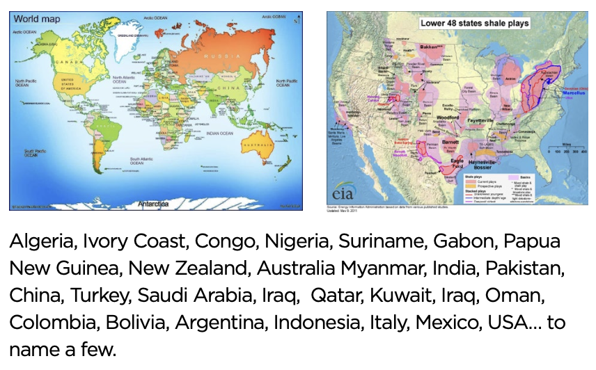
Experienced in Seismic Processing
- For the past 21 years, GeoTomo has been…..
developing land seismic processing technology processing land, shallow water and transitional zone data
- Focused on imaging the near-surface and subsurface with rough topography, complex near-surface and subsurface issues.
- Over last 8 years, GeoTomo has become more active in US Shale onshore processing applying 20 years of lessons learned.
- Accurate near-surface statics and velocity modeling are key aspects to improving both time and depth subsurface imaging.
Surface Seismic / Borehole Seismic
Specialised processing for areas with near-surface and structural complexities
- Anisotropic Time and Depth Imaging
- High Resolution Near-surface Velocity Models
- Time-Lapse FWI Processing
- Microseismic Processing
- VSP Processing & Survey Design
- Crosswell Tomography and Imaging
- Petrophysics to Seismic Integration
- Seisnetics AI Driven Reservoir Characterisation
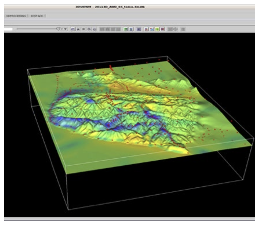
Anisotropic Time Imaging (PSTM)
- First Arrival Traveltime Tomography & FWI near-surface statics
- Migration velocity, gradient, and anisotropic parameters scan along horizons
- Target –oriented multiple attenuation
- High-amplitude, random, coherent noise attenuation
- Kirchhoff / Wave Equation Migration from Topography
- Crooked-line Imaging
High Resolution Near-surface Velocity Models
- Nonlinear First Arrival Traveltime Tomography
- Full Waveform Inversion – FWI
- Joint Traveltime & FWI
- Joint Traveltime & Gravity
Anisotropic Depth Imaging (PSDM)
- First Arrival Tomography / FWI Near-surface Model
- Reflection / Fast Beam Tomography Subsurface Model
- Tomo-holistic Depth Image Model
- Kirchhoff / Wave Equation / RTM / Gaussian
- Beam Migration
For...
- Near-surface statics
- Depth imaging model
- Shallow drilling hazards
- Steam Flood Monitoring
- CCS Monitoring
Joint Traveltime & EM
Microseismic Processing
- Downhole and Surface Array Geometries
- Geophone or DAS acquired data
- Pre-survey Modelling & Design
- Data Processing & Enhancement
- Event Imaging and Location
- Source Focal Mechanism
For...
- Better understanding of hydraulic frac performance
- Monitoring Wastewater Disposal Containment
- Gas Storage Cap Rock Integrity
VSP Data Processing
- Pre-survey Design and Modeling
- Finite Difference Wavefield Simulation
- VSP Traveltime Tomography Model Updating
- VSP Pre-stack Depth Imaging
- Kirchhoff /Wave Equation
- Synthetic Seismograms
- Geophone or DAS acquired data
- 2D & 3D Survey Geometry
For...
- Well Log to Seismic Tie (time-depth analysis)
- High Resolution Structural Imaging
- Time-lapse Reservoir Monitoring

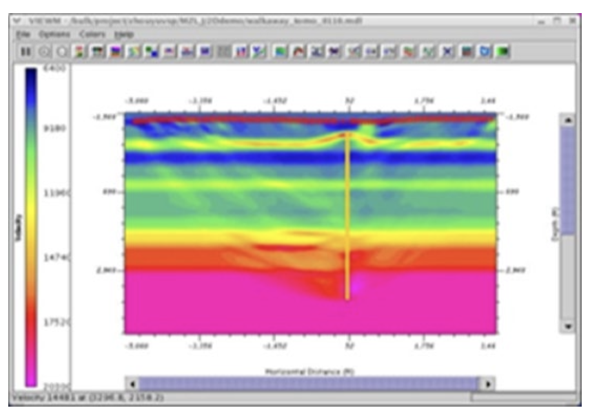
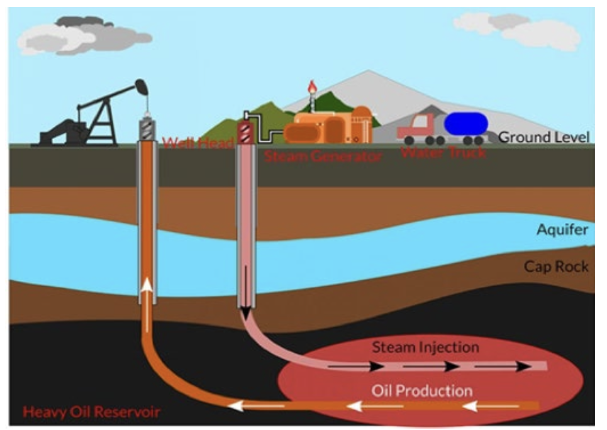
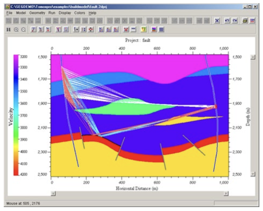
Time-Lapse Seismic Processing
- Double Difference Nonlinear Traveltime Tomography
- Double Difference Full Waveform Inversion (FWI)
- Geophone and DAS Array Data
- Surface Seismic or Borehole Geometry Data
For...
- Steam Flood Monitoring
- CO2 Storage Monitoring
- Hydraulic Fracture Monitoring
- Reservoir Monitoring
Crosswell Seismic Imaging
- Survey Design and Modeling
- First Arrival Traveltime Tomography Imaging
- Kirchhoff Pre-stack Depth Migration
- 4D Time-Lapse Monitor
For...
- Structural and Stratigraphy Imaging
- Steam Flood Monitoring
- CO2 Storage Monitoring
- Hydraulic Fracture Monitoring
Integration of Petrophysics with Seismic
- Well Log Editing and Modeling
- AVO Reflectivity Inversion
- Borehole Calibration Crossplot
- Reflectivity Attributes
- AVO Modeling
- Multiple Modeling and Identification
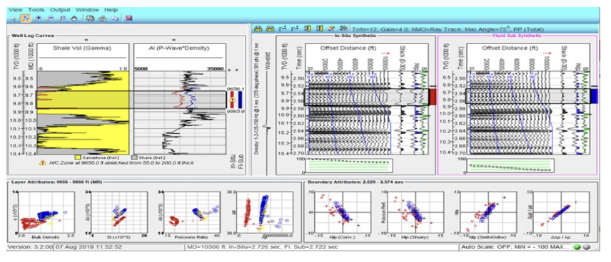
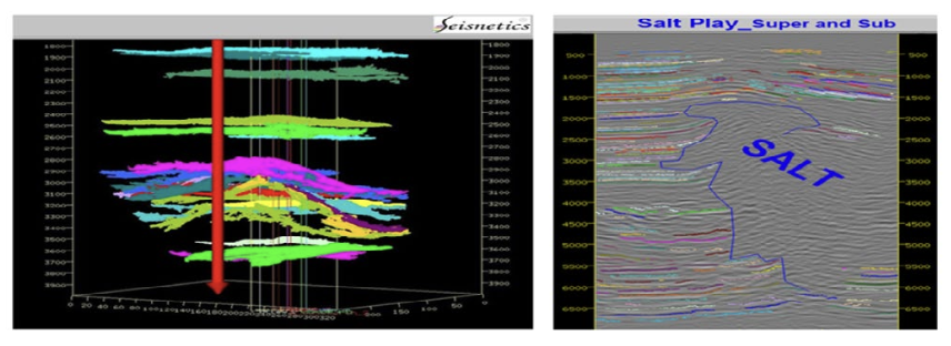
Integration of Petrophysics with Seismic
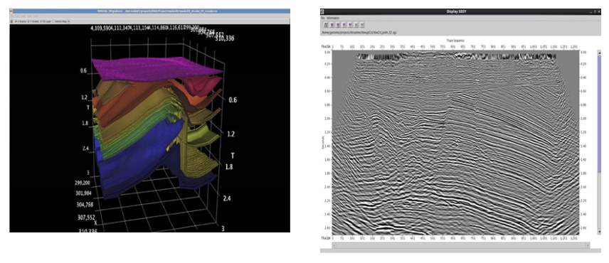
- Extracted surfaces throughout entire seismic volume quickly with no parametrisation
- Clearly defined structural and stratigraphic termination and facies maps
- Analysis of waveforms based on geology (rock or fluid content)
- Map fluvial changes from one environment to another